סיבוב בעמק יזרעאל
- Distance: 45.8 Km
- Elevation gain: 414 m
- Maximum elevation: 186 m
- Elevation loss: 414 m
- Minimum elevation: 31 m
- Moving time: 3 h 29 m
- Moving speed: 13.1 Km/h
- Maximum speed: 35.5 Km/h
- Total time: 4 h 53 m
- Global speed: 9.4 Km/h
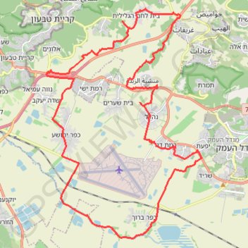
Interactive trail map
Trail profile
- Distance: 45.8 Km
- Elevation gain: 414 m
- Maximum elevation: 186 m
- Elevation loss: 414 m
- Minimum elevation: 31 m
- Moving time: 3 h 29 m
- Moving speed: 13.1 Km/h
- Maximum speed: 35.5 Km/h
- Total time: 4 h 53 m
- Global speed: 9.4 Km/h
About this trail
Name: סיבוב בעמק יזרעאל trail, distance, elevation, map, profile, GPS track
Coordinates: 32.63650 35.14214 32.73719 35.22322
Other hiking, mountain biking, running and outdoor activity trails
Click on a trail to view its statistics, map and profile.
Home78Rec
Israel > Haifa District > Nesher
Distance: 78.4 Km • Elevation gain: 1,479 m • Maximum elevation: 461 m