
Veneto trails
Click on a trail to view its statistics, map and profile.
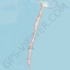
E5_Isole_di_Venezia(1)
Italy > Veneto > Venezia > Venice > San Pietro in Volta > Santa Maria del Mare
Distance: 8.9 Km • Elevation gain: 18 m • Maximum elevation: 4 m
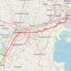
2022_DE_Thermengebiet-Padua-Mestre
Italy > Veneto > Province of Padua > Galzignano Terme
Distance: 55.7 Km • Elevation gain: 89 m • Maximum elevation: 21 m
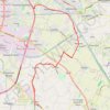
Day 23-NOV-22 19:12:44
Italy > Veneto > Province of Padua > Legnaro
Distance: 30.1 Km • Elevation gain: 45 m • Maximum elevation: 13 m
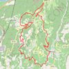
Copia di Giretto di controllo sul pastello
Italy > Veneto > Verona > Fumane
Distance: 24.4 Km • Elevation gain: 903 m • Maximum elevation: 755 m
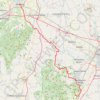
2022_DE_Vicenza-Thermengebiet
Italy > Veneto > Vicenza > Vicenza
Distance: 50.4 Km • Elevation gain: 193 m • Maximum elevation: 53 m
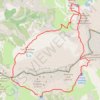
Move
Italy > Veneto > Belluno > Auronzo di Cadore
Distance: 10.0 Km • Elevation gain: 447 m • Maximum elevation: 2,440 m
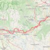
2022_DE_Verona-Vicenza | flach
Italy > Veneto > Verona > Verona
Distance: 73.2 Km • Elevation gain: 471 m • Maximum elevation: 159 m
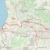
2022_DE_Peschiera-Verona
Italy > Veneto > Verona > Peschiera del Garda
Distance: 34.0 Km • Elevation gain: 278 m • Maximum elevation: 190 m
Виаферата Доломити
Italy > Veneto > Belluno > Cortina d'Ampezzo
Distance: 11.1 Km • Elevation gain: 1,945 m • Maximum elevation: 3,010 m