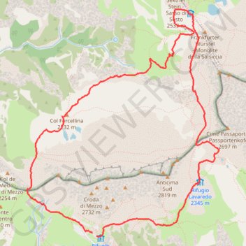
Move
- Distance: 10.0 Km
- Elevation gain: 447 m
- Maximum elevation: 2,440 m
- Elevation loss: 448 m
- Minimum elevation: 2,172 m
- Moving time: 4 h 52 m
- Moving speed: 2.1 Km/h
- Maximum speed: 5.5 Km/h
- Total time: 5 h 29 m
- Global speed: 1.8 Km/h
Interactive trail map
Trail profile
- Distance: 10.0 Km
- Elevation gain: 447 m
- Maximum elevation: 2,440 m
- Elevation loss: 448 m
- Minimum elevation: 2,172 m
- Moving time: 4 h 52 m
- Moving speed: 2.1 Km/h
- Maximum speed: 5.5 Km/h
- Total time: 5 h 29 m
- Global speed: 1.8 Km/h
About this trail
Name: Move trail, distance, elevation, map, profile, GPS track
Coordinates: 46.61230 12.28431 46.63737 12.31514