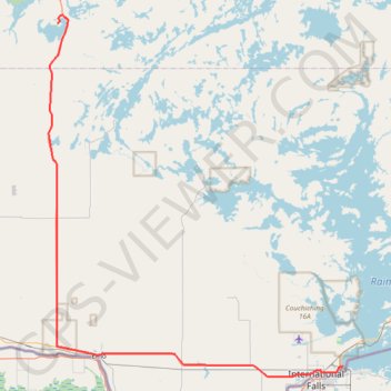
Nestor Falls - Fort Frances
#Bike
- Distance: 94.1 Km
- Elevation gain: 431 m
- Maximum elevation: 395 m
- Elevation loss: 444 m
- Minimum elevation: 328 m
Interactive trail map
Trail profile
- Distance: 94.1 Km
- Elevation gain: 431 m
- Maximum elevation: 395 m
- Elevation loss: 444 m
- Minimum elevation: 328 m
About this trail
Name: Nestor Falls - Fort Frances trail, distance, elevation, map, profile, GPS track
Coordinates: 48.60469 -93.93177 49.06901 -93.35882
Topography: Sioux Narrows-Nestor Falls Township topographic map, elevation, terrain
Other hiking, mountain biking, running and outdoor activity trails
Click on a trail to view its statistics, map and profile.
Fort Frances - Atikokan
Canada > Ontario > Rainy River District > Fort Frances
Distance: 147.0 Km • Elevation gain: 906 m • Maximum elevation: 442 m