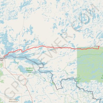
Fort Frances - Atikokan
- Distance: 147.0 Km
- Elevation gain: 906 m
- Maximum elevation: 442 m
- Elevation loss: 855 m
- Minimum elevation: 333 m
Interactive trail map
Trail profile
- Distance: 147.0 Km
- Elevation gain: 906 m
- Maximum elevation: 442 m
- Elevation loss: 855 m
- Minimum elevation: 333 m
About this trail
Name: Fort Frances - Atikokan trail, distance, elevation, map, profile, GPS track
Coordinates: 48.62779 -93.36075 48.76107 -91.58759
Topography: Rainy River District topographic map, elevation, terrain
Other hiking, mountain biking, running and outdoor activity trails
Click on a trail to view its statistics, map and profile.
Nestor Falls - Fort Frances
Canada > Ontario > Kenora District > Sioux Narrows-Nestor Falls Township
#Bike
Distance: 94.1 Km • Elevation gain: 431 m • Maximum elevation: 395 m