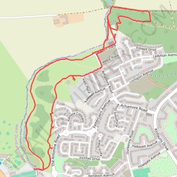
Trails around Drumchapel
- Distance: 3.9 Km
- Elevation gain: 68 m
- Maximum elevation: 79 m
- Elevation loss: 68 m
- Minimum elevation: 37 m
- Moving time: 1 h 10 m
- Moving speed: 3.3 Km/h
- Maximum speed: 5.1 Km/h
- Total time: 1 h 18 m
- Global speed: 3.0 Km/h
Interactive trail map
Trail profile
- Distance: 3.9 Km
- Elevation gain: 68 m
- Maximum elevation: 79 m
- Elevation loss: 68 m
- Minimum elevation: 37 m
- Moving time: 1 h 10 m
- Moving speed: 3.3 Km/h
- Maximum speed: 5.1 Km/h
- Total time: 1 h 18 m
- Global speed: 3.0 Km/h
About this trail
Name: Trails around Drumchapel trail, distance, elevation, map, profile, GPS track
Coordinates: 55.91139 -4.38813 55.92099 -4.37505
Other hiking, mountain biking, running and outdoor activity trails
Click on a trail to view its statistics, map and profile.