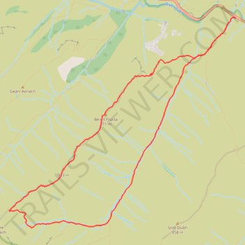
Munro Hillwalk Glencoe Fhada
- Distance: 10.0 Km
- Elevation gain: 777 m
- Maximum elevation: 925 m
- Elevation loss: 777 m
- Minimum elevation: 253 m
- Moving time: 3 h 55 m
- Moving speed: 2.6 Km/h
- Maximum speed: 6.0 Km/h
- Total time: 5 h 18 m
- Global speed: 1.9 Km/h
Interactive trail map
Trail profile
- Distance: 10.0 Km
- Elevation gain: 777 m
- Maximum elevation: 925 m
- Elevation loss: 777 m
- Minimum elevation: 253 m
- Moving time: 3 h 55 m
- Moving speed: 2.6 Km/h
- Maximum speed: 6.0 Km/h
- Total time: 5 h 18 m
- Global speed: 1.9 Km/h
About this trail
Name: Munro Hillwalk Glencoe Fhada trail, distance, elevation, map, profile, GPS track
Start: A82, Highland, Scotland, PH50 4SQ, United Kingdom (56.66263 -4.95815)
End: A82, Highland, Scotland, PH50 4SQ, United Kingdom (56.66265 -4.95812)
Coordinates: 56.63779 -5.00703 56.66278 -4.95812
Other hiking, mountain biking, running and outdoor activity trails
Click on a trail to view its statistics, map and profile.