United States National Arboretum
- Distance: 1.0 Km
- Elevation gain: 45 m
- Maximum elevation: 39 m
- Elevation loss: 45 m
- Minimum elevation: 2 m
- Moving time: 17 m 46 s
- Moving speed: 3.5 Km/h
- Maximum speed: 6.2 Km/h
- Total time: 20 m 51 s
- Global speed: 2.9 Km/h
Interactive trail map
Trail profile
- Distance: 1.0 Km
- Elevation gain: 45 m
- Maximum elevation: 39 m
- Elevation loss: 45 m
- Minimum elevation: 2 m
- Moving time: 17 m 46 s
- Moving speed: 3.5 Km/h
- Maximum speed: 6.2 Km/h
- Total time: 20 m 51 s
- Global speed: 2.9 Km/h
About this trail
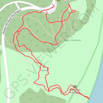
Name: United States National Arboretum trail, distance, elevation, map, profile, GPS track
Coordinates: 38.91166 -76.95642 38.91340 -76.95463