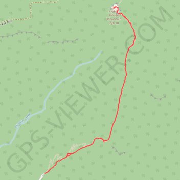
Pigeon House Mountain Didthul
- Distance: 5.7 Km
- Elevation gain: 423 m
- Maximum elevation: 645 m
- Elevation loss: 423 m
- Minimum elevation: 222 m
Interactive trail map
Trail profile
- Distance: 5.7 Km
- Elevation gain: 423 m
- Maximum elevation: 645 m
- Elevation loss: 423 m
- Minimum elevation: 222 m
About this trail
Name: Pigeon House Mountain Didthul trail, distance, elevation, map, profile, GPS track
Coordinates: -35.36701 150.25592 -35.34922 150.26778
Other hiking, mountain biking, running and outdoor activity trails
Click on a trail to view its statistics, map and profile.
Pigeon House Mountain
Morton National Park. #Hiking #PigeonHouse #Morton
Distance: 5.5 Km • Elevation gain: 426 m • Maximum elevation: 646 m