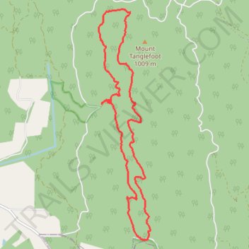
Tanglefoot Trails of Toolangi
- Distance: 15.6 Km
- Elevation gain: 580 m
- Maximum elevation: 925 m
- Elevation loss: 589 m
- Minimum elevation: 627 m
Interactive trail map
Trail profile
- Distance: 15.6 Km
- Elevation gain: 580 m
- Maximum elevation: 925 m
- Elevation loss: 589 m
- Minimum elevation: 627 m
About this trail
Name: Tanglefoot Trails of Toolangi trail, distance, elevation, map, profile, GPS track
Start: Tanglefoot Loop, Toolangi, Shire of Murrindindi, Victoria, 3777, Australia (-37.52780 145.52196)
Coordinates: -37.55702 145.51891 -37.50762 145.53283
Other hiking, mountain biking, running and outdoor activity trails
Click on a trail to view its statistics, map and profile.
Tallarook - Eildon - Hurstbridge
Australia > Victoria > Tallarook
#Bike
Distance: 278.8 Km • Elevation gain: 4,897 m • Maximum elevation: 868 m