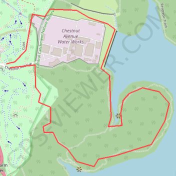
Central Catchment Narure Reserve
Interactive trail map
Trail profile
- Distance: 3.9 Km
- Elevation gain: 58 m
- Maximum elevation: 59 m
- Elevation loss: 58 m
- Minimum elevation: 32 m
About this trail
Name: Central Catchment Narure Reserve trail, distance, elevation, map, profile, GPS track
Coordinates: 1.36546 103.78025 1.37417 103.78926
Other hiking, mountain biking, running and outdoor activity trails
Click on a trail to view its statistics, map and profile.
The Green Corridor - Singapore
Distance: 22.3 Km • Elevation gain: 167 m • Maximum elevation: 44 m
Directions from Duck Tour Ramp to Marina Boulevard, Singapore
Distance: 105.3 Km • Elevation gain: 812 m • Maximum elevation: 51 m