Import a GPX file

Charlevoix

Bike loop from Saint-Urbain. #Bike #Loop

  • Distance: 79.0 Km
  • Elevation gain: 1,178 m
  • Maximum elevation: 428 m
  • Elevation loss: 1,177 m
  • Minimum elevation: 25 m

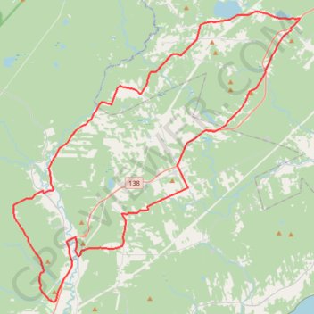
Interactive trail map

Trail profile

  • Distance: 79.0 Km
  • Elevation gain: 1,178 m
  • Maximum elevation: 428 m
  • Elevation loss: 1,177 m
  • Minimum elevation: 25 m

About this trail

Gear up for your next adventure:

🧤Thermal Hiking Gloves - Grip-enhanced gloves for cold-weather altitude trekking
🔥Emergency Fire Starter - Reliable ignition source for all weather conditions
🧭GPS Handheld Device - Reliable GPS navigation for outdoor adventures
🔦LED Headlamp - Hands-free lighting for early morning starts or late finishes
🥾Hiking Shoes - Durable and comfortable shoes for trail hiking

As an Amazon Associate, this site earns from qualifying purchases at no extra cost to you.