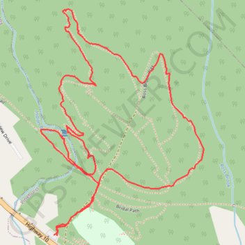
River Ridge Common Loop
Hiking, Walking, Biking
- Distance: 3.4 Km
- Elevation gain: 61 m
- Maximum elevation: 101 m
- Elevation loss: 61 m
- Minimum elevation: 48 m
- Moving time: 55 m 58 s
- Moving speed: 3.6 Km/h
- Maximum speed: 6.2 Km/h
- Total time: 1 h 8 m
- Global speed: 3.0 Km/h
Interactive trail map
Trail profile
- Distance: 3.4 Km
- Elevation gain: 61 m
- Maximum elevation: 101 m
- Elevation loss: 61 m
- Minimum elevation: 48 m
- Moving time: 55 m 58 s
- Moving speed: 3.6 Km/h
- Maximum speed: 6.2 Km/h
- Total time: 1 h 8 m
- Global speed: 3.0 Km/h
About this trail
Name: River Ridge Common Loop trail, distance, elevation, map, profile, GPS track
Coordinates: 44.53231 -64.69802 44.53904 -64.69123
Topography: Lunenburg County topographic map, elevation, terrain