Francis Point Lighthouse
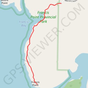
Interactive trail map
Trail profile
- Distance: 2.6 Km
- Elevation gain: 96 m
- Maximum elevation: 36 m
- Elevation loss: 96 m
- Minimum elevation: 3 m
About this trail
Name: Francis Point Lighthouse trail, distance, elevation, map, profile, GPS track
Coordinates: 49.60349 -124.06020 49.61262 -124.05416
Topography: Area A (Egmont/Pender Harbour) topographic map, elevation, terrain