Lunch Walk
- Distance: 0.6 Km
- Elevation gain: 0 m
- Maximum elevation: 698 m
- Elevation loss: 48 m
- Minimum elevation: 649 m
- Moving time: 7 m 15 s
- Moving speed: 5.4 Km/h
- Maximum speed: 6.7 Km/h
- Total time: 7 m 15 s
- Global speed: 5.4 Km/h
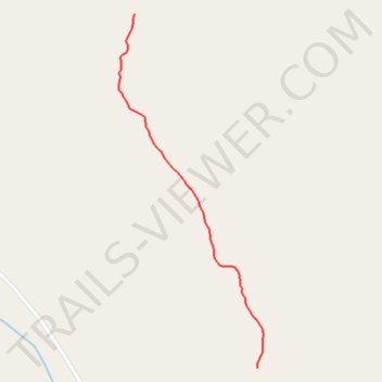
Interactive trail map
Trail profile
- Distance: 0.6 Km
- Elevation gain: 0 m
- Maximum elevation: 698 m
- Elevation loss: 48 m
- Minimum elevation: 649 m
- Moving time: 7 m 15 s
- Moving speed: 5.4 Km/h
- Maximum speed: 6.7 Km/h
- Total time: 7 m 15 s
- Global speed: 5.4 Km/h
About this trail
Name: Lunch Walk trail, distance, elevation, map, profile, GPS track
Start: Deep Creek Road, Yukon, Canada (61.08057 -135.21818)
End: Deep Creek Road, Yukon, Canada (61.07567 -135.21467)
Coordinates: 61.07567 -135.21863 61.08057 -135.21449
Topography: Yukon topographic map, elevation, terrain
Other hiking, mountain biking, running and outdoor activity trails
Click on a trail to view its statistics, map and profile.
South Trails near Fossil Pt Road
Distance: 4.6 Km • Elevation gain: 112 m • Maximum elevation: 686 m
Laberge Mt Bike Ride
Distance: 18.7 Km • Elevation gain: 313 m • Maximum elevation: 736 m