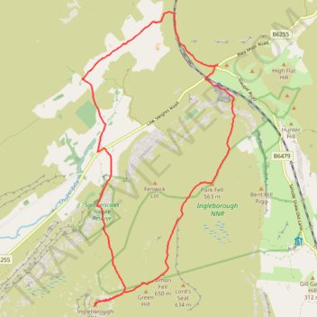
Inglebrough loop hike from Ribblehead
- Distance: 17.1 Km
- Elevation gain: 596 m
- Maximum elevation: 726 m
- Elevation loss: 595 m
- Minimum elevation: 280 m
- Moving time: 5 h 13 m
- Moving speed: 3.3 Km/h
- Maximum speed: 9.8 Km/h
- Total time: 6 h 19 m
- Global speed: 2.7 Km/h
Interactive trail map
Trail profile
- Distance: 17.1 Km
- Elevation gain: 596 m
- Maximum elevation: 726 m
- Elevation loss: 595 m
- Minimum elevation: 280 m
- Moving time: 5 h 13 m
- Moving speed: 3.3 Km/h
- Maximum speed: 9.8 Km/h
- Total time: 6 h 19 m
- Global speed: 2.7 Km/h
About this trail
Name: Inglebrough loop hike from Ribblehead trail, distance, elevation, map, profile, GPS track
Coordinates: 54.16622 -2.40177 54.21836 -2.35533
Other hiking, mountain biking, running and outdoor activity trails
Click on a trail to view its statistics, map and profile.
Whernside loop hike
United Kingdom > England > North Yorkshire > Ingleton > Gearstones
Distance: 13.8 Km • Elevation gain: 494 m • Maximum elevation: 731 m