Kayak/hike Hungry Island
- Distance: 26.4 Km
- Elevation gain: 117 m
- Maximum elevation: 24 m
- Elevation loss: 117 m
- Minimum elevation: -2 m
- Moving time: 5 h 19 m
- Moving speed: 5.0 Km/h
- Maximum speed: 11.7 Km/h
- Total time: 7 h 37 m
- Global speed: 3.5 Km/h
Interactive trail map
Trail profile
- Distance: 26.4 Km
- Elevation gain: 117 m
- Maximum elevation: 24 m
- Elevation loss: 117 m
- Minimum elevation: -2 m
- Moving time: 5 h 19 m
- Moving speed: 5.0 Km/h
- Maximum speed: 11.7 Km/h
- Total time: 7 h 37 m
- Global speed: 3.5 Km/h
About this trail
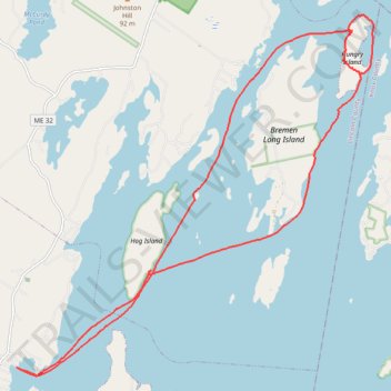
Name: Kayak/hike Hungry Island trail, distance, elevation, map, profile, GPS track
Coordinates: 43.94346 -69.45810 44.01083 -69.36556