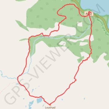
Beinn Eighe Mountain Trail
- Distance: 6.4 Km
- Elevation gain: 553 m
- Maximum elevation: 555 m
- Elevation loss: 551 m
- Minimum elevation: 14 m
- Moving time: 2 h 41 m
- Moving speed: 2.4 Km/h
- Maximum speed: 5.6 Km/h
- Total time: 4 h 14 m
- Global speed: 1.5 Km/h
Interactive trail map
Trail profile
- Distance: 6.4 Km
- Elevation gain: 553 m
- Maximum elevation: 555 m
- Elevation loss: 551 m
- Minimum elevation: 14 m
- Moving time: 2 h 41 m
- Moving speed: 2.4 Km/h
- Maximum speed: 5.6 Km/h
- Total time: 4 h 14 m
- Global speed: 1.5 Km/h
About this trail
Name: Beinn Eighe Mountain Trail trail, distance, elevation, map, profile, GPS track
Coordinates: 57.61504 -5.37182 57.63206 -5.34841