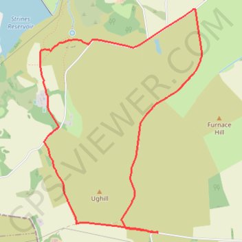
Rod Side loop via Sugworth Hall
- Distance: 6.6 Km
- Elevation gain: 129 m
- Maximum elevation: 401 m
- Elevation loss: 129 m
- Minimum elevation: 308 m
- Moving time: 1 h 41 m
- Moving speed: 3.9 Km/h
- Maximum speed: 8.0 Km/h
- Total time: 2 h 6 m
- Global speed: 3.1 Km/h
Interactive trail map
Trail profile
- Distance: 6.6 Km
- Elevation gain: 129 m
- Maximum elevation: 401 m
- Elevation loss: 129 m
- Minimum elevation: 308 m
- Moving time: 1 h 41 m
- Moving speed: 3.9 Km/h
- Maximum speed: 8.0 Km/h
- Total time: 2 h 6 m
- Global speed: 3.1 Km/h
About this trail
Name: Rod Side loop via Sugworth Hall trail, distance, elevation, map, profile, GPS track
Coordinates: 53.39186 -1.65321 53.40995 -1.63126