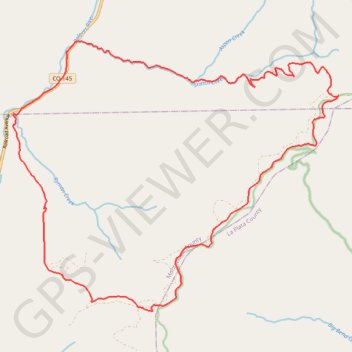
Scotch Creek -> Salt Creek Loop, Rico, CO
Interactive trail map
Trail profile
- Distance: 31.6 Km
- Elevation gain: 1,131 m
- Maximum elevation: 3,331 m
- Elevation loss: 1,131 m
- Minimum elevation: 2,576 m
- Moving time: 3 h 26 m
- Moving speed: 9.2 Km/h
- Maximum speed: 43.5 Km/h
- Total time: 5 h 12 m
- Global speed: 6.1 Km/h
About this trail
Name: Scotch Creek -> Salt Creek Loop, Rico, CO trail, distance, elevation, map, profile, GPS track
Start: State Highway 145, Dolores County, Colorado, United States (37.65123 -108.04751)
End: State Highway 145, Dolores County, Colorado, United States (37.65121 -108.04747)
Coordinates: 37.59015 -108.06333 37.65365 -107.96686