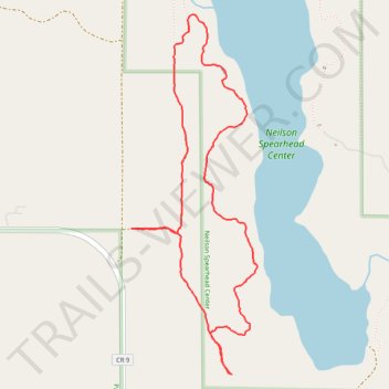
Nielson Spearhead Center, west and southwest trails
- Distance: 5.1 Km
- Elevation gain: 54 m
- Maximum elevation: 433 m
- Elevation loss: 54 m
- Minimum elevation: 414 m
- Moving time: 1 h 8 m
- Moving speed: 4.5 Km/h
- Maximum speed: 7.3 Km/h
- Total time: 1 h 9 m
- Global speed: 4.4 Km/h
Interactive trail map
Trail profile
- Distance: 5.1 Km
- Elevation gain: 54 m
- Maximum elevation: 433 m
- Elevation loss: 54 m
- Minimum elevation: 414 m
- Moving time: 1 h 8 m
- Moving speed: 4.5 Km/h
- Maximum speed: 7.3 Km/h
- Total time: 1 h 9 m
- Global speed: 4.4 Km/h
About this trail
Name: Nielson Spearhead Center, west and southwest trails trail, distance, elevation, map, profile, GPS track
Start: CR 9, Hubbard County, Minnesota, United States (47.36824 -94.96912)
End: CR 9, Hubbard County, Minnesota, United States (47.36823 -94.96912)
Coordinates: 47.36163 -94.96912 47.37794 -94.96070