San Vicente RR, Camino de Viento
Morning Ride
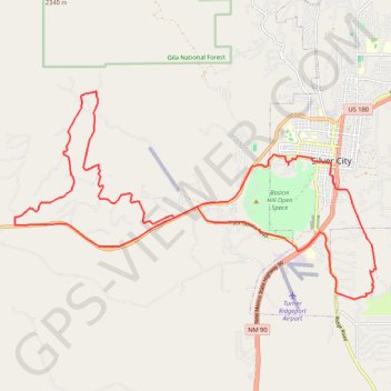
- Distance: 32.6 Km
- Elevation gain: 599 m
- Maximum elevation: 1,979 m
- Elevation loss: 596 m
- Minimum elevation: 1,743 m
- Moving time: 1 h 41 m
- Moving speed: 19.3 Km/h
- Maximum speed: 54.3 Km/h
- Total time: 1 h 45 m
- Global speed: 18.6 Km/h
Interactive trail map
Trail profile
- Distance: 32.6 Km
- Elevation gain: 599 m
- Maximum elevation: 1,979 m
- Elevation loss: 596 m
- Minimum elevation: 1,743 m
- Moving time: 1 h 41 m
- Moving speed: 19.3 Km/h
- Maximum speed: 54.3 Km/h
- Total time: 1 h 45 m
- Global speed: 18.6 Km/h
About this trail
Name: San Vicente RR, Camino de Viento trail, distance, elevation, map, profile, GPS track
Coordinates: 32.73915 -108.36299 32.78686 -108.26406
Other hiking, mountain biking, running and outdoor activity trails
Click on a trail to view its statistics, map and profile.