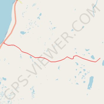
Track 01
- Distance: 7.2 Km
- Elevation gain: 156 m
- Maximum elevation: 139 m
- Elevation loss: 26 m
- Minimum elevation: 8 m
Interactive trail map
Trail profile
- Distance: 7.2 Km
- Elevation gain: 156 m
- Maximum elevation: 139 m
- Elevation loss: 26 m
- Minimum elevation: 8 m
About this trail
Name: Track 01 trail, distance, elevation, map, profile, GPS track
Start: Newfoundland, Newfoundland and Labrador, Canada (50.10335 -57.67064)
End: Newfoundland, Newfoundland and Labrador, Canada (50.09396 -57.58225)
Coordinates: 50.09174 -57.67092 50.10335 -57.58225
Topography: Newfoundland and Labrador topographic map, elevation, terrain