Fifth Water Hot Springs Trail in Uinta-Wasatch-Cache National Forest
The Fifth Water Hot Springs Trail in Utah offers hikers a scenic journey through Diamond Fork Canyon, featuring vibrant red rock formations and the soothing sounds of a gushing river. Along the path, you'll encounter multiple natural hot spring pools with milky blue and green waters, providing a perfect spot to relax and soak. The trail culminates at a picturesque waterfall, adding to the area's natural beauty. #Hiking #Mountain #Forest #Nature #River #Waterfall #Canyon
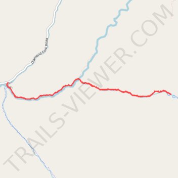
- Distance: 7.6 Km
- Elevation gain: 258 m
- Maximum elevation: 1,891 m
- Elevation loss: 257 m
- Minimum elevation: 1,695 m
- Moving time: 1 h 42 m
- Moving speed: 4.4 Km/h
- Maximum speed: 9.2 Km/h
- Total time: 2 h 5 m
- Global speed: 3.6 Km/h
Interactive trail map
Trail profile
- Distance: 7.6 Km
- Elevation gain: 258 m
- Maximum elevation: 1,891 m
- Elevation loss: 257 m
- Minimum elevation: 1,695 m
- Moving time: 1 h 42 m
- Moving speed: 4.4 Km/h
- Maximum speed: 9.2 Km/h
- Total time: 2 h 5 m
- Global speed: 3.6 Km/h
About this trail
Name: Fifth Water Hot Springs Trail in Uinta-Wasatch-Cache National Forest trail, distance, elevation, map, profile, GPS track
Start: Three Forks Road, Utah County, Utah, United States (40.08486 -111.35463)
End: Three Forks Road, Utah County, Utah, United States (40.08489 -111.35463)
Coordinates: 40.08197 -111.35492 40.08548 -111.31801