Lost Valley Trail to Eden Falls and Cob Cave in Buffalo National River
The Lost Valley Trail offers a captivating hike that showcases a variety of natural wonders. As you traverse the path, you’ll encounter a stunning natural bridge and the picturesque Eden Falls, which flows beautifully during wet seasons. The trail also leads to Cob Cave, where you can explore a historical site enriched with fascinating geological features and wildlife. #Hiking #Waterfall #Cave #Forest #Nature
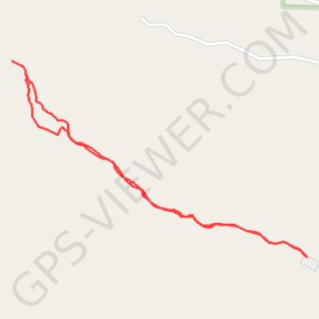
- Distance: 3.8 Km
- Elevation gain: 123 m
- Maximum elevation: 440 m
- Elevation loss: 123 m
- Minimum elevation: 328 m
Interactive trail map
Trail profile
- Distance: 3.8 Km
- Elevation gain: 123 m
- Maximum elevation: 440 m
- Elevation loss: 123 m
- Minimum elevation: 328 m
About this trail
Name: Lost Valley Trail to Eden Falls and Cob Cave in Buffalo National River trail, distance, elevation, map, profile, GPS track
Start: Lost Valley Road, Beechwood, Newton County, Arkansas, 72670, United States (36.00906 -93.37184)
End: Lost Valley Road, Beechwood, Newton County, Arkansas, 72670, United States (36.00906 -93.37184)
Coordinates: 36.00906 -93.38736 36.01743 -93.37184