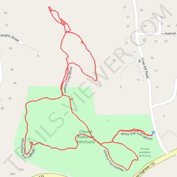
Choate Audubon Sanctuary Trails
- Distance: 2.4 Km
- Elevation gain: 64 m
- Maximum elevation: 142 m
- Elevation loss: 65 m
- Minimum elevation: 97 m
- Moving time: 31 m 25 s
- Moving speed: 4.7 Km/h
- Maximum speed: 8.1 Km/h
- Total time: 37 m 25 s
- Global speed: 3.9 Km/h
Interactive trail map
Trail profile
- Distance: 2.4 Km
- Elevation gain: 64 m
- Maximum elevation: 142 m
- Elevation loss: 65 m
- Minimum elevation: 97 m
- Moving time: 31 m 25 s
- Moving speed: 4.7 Km/h
- Maximum speed: 8.1 Km/h
- Total time: 37 m 25 s
- Global speed: 3.9 Km/h
About this trail
Name: Choate Audubon Sanctuary Trails trail, distance, elevation, map, profile, GPS track
Coordinates: 41.20707 -73.75189 41.21173 -73.74706
Other hiking, mountain biking, running and outdoor activity trails
Click on a trail to view its statistics, map and profile.