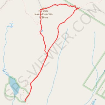
Balsam Lake Mountain Loop
Loop hike from Balsam Lake to Balsam Lake Mountain via Dry Brook Ridge Trail and Balsam Lake Mountain Trail in the Balsam Lake Mountain Wild Forest and the Cattskill Park. #Hiking #Loop #Mountain #Lake #Nature #Forest #Park
- Distance: 7.0 Km
- Elevation gain: 355 m
- Maximum elevation: 1,133 m
- Elevation loss: 356 m
- Minimum elevation: 777 m
- Moving time: 1 h 43 m
- Moving speed: 4.1 Km/h
- Maximum speed: 5.4 Km/h
- Total time: 1 h 50 m
- Global speed: 3.8 Km/h
Interactive trail map
Trail profile
- Distance: 7.0 Km
- Elevation gain: 355 m
- Maximum elevation: 1,133 m
- Elevation loss: 356 m
- Minimum elevation: 777 m
- Moving time: 1 h 43 m
- Moving speed: 4.1 Km/h
- Maximum speed: 5.4 Km/h
- Total time: 1 h 50 m
- Global speed: 3.8 Km/h
About this trail
Name: Balsam Lake Mountain Loop trail, distance, elevation, map, profile, GPS track
Coordinates: 42.02403 -74.59973 42.04691 -74.58229