New
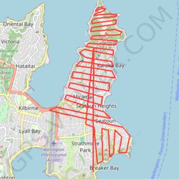
- Distance: 42.9 Km
- Elevation gain: 2,965 m
- Maximum elevation: 156 m
- Elevation loss: 2,971 m
- Minimum elevation: 1 m
Interactive trail map
Trail profile
- Distance: 42.9 Km
- Elevation gain: 2,965 m
- Maximum elevation: 156 m
- Elevation loss: 2,971 m
- Minimum elevation: 1 m
About this trail
Name: New trail, distance, elevation, map, profile, GPS track
Coordinates: -41.33558 174.80613 -41.28674 174.83788