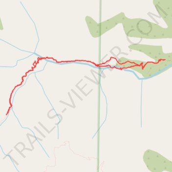
Middle Fork Lytle Creek Trail to Commanche Camp
- Distance: 11.9 Km
- Elevation gain: 811 m
- Maximum elevation: 1,901 m
- Elevation loss: 812 m
- Minimum elevation: 1,218 m
- Moving time: 3 h 45 m
- Moving speed: 3.2 Km/h
- Maximum speed: 7.5 Km/h
- Total time: 4 h 31 m
- Global speed: 2.6 Km/h
Interactive trail map
Trail profile
- Distance: 11.9 Km
- Elevation gain: 811 m
- Maximum elevation: 1,901 m
- Elevation loss: 812 m
- Minimum elevation: 1,218 m
- Moving time: 3 h 45 m
- Moving speed: 3.2 Km/h
- Maximum speed: 7.5 Km/h
- Total time: 4 h 31 m
- Global speed: 2.6 Km/h
About this trail
Name: Middle Fork Lytle Creek Trail to Commanche Camp trail, distance, elevation, map, profile, GPS track
Coordinates: 34.24231 -117.58010 34.25426 -117.54016
Other hiking, mountain biking, running and outdoor activity trails
Click on a trail to view its statistics, map and profile.