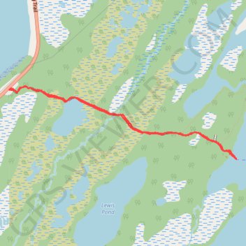
Western Brook Pond - Jerrys Pond
Interactive trail map
Trail profile
- Distance: 5.8 Km
- Elevation gain: 57 m
- Maximum elevation: 39 m
- Elevation loss: 57 m
- Minimum elevation: 20 m
About this trail
Name: Western Brook Pond - Jerrys Pond trail, distance, elevation, map, profile, GPS track
Start: Western Brook Pond Trail, Newfoundland, Newfoundland and Labrador, Canada (49.78049 -57.84036)
End: Western Brook Pond Trail, Newfoundland, Newfoundland and Labrador, Canada (49.78052 -57.84039)
Coordinates: 49.78049 -57.87496 49.78771 -57.84036
Topography: Newfoundland and Labrador topographic map, elevation, terrain