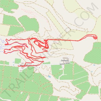
Muratie Ride
- Distance: 14.5 Km
- Elevation gain: 492 m
- Maximum elevation: 460 m
- Elevation loss: 483 m
- Minimum elevation: 265 m
- Moving time: 1 h 25 m
- Moving speed: 10.1 Km/h
- Maximum speed: 60.9 Km/h
- Total time: 1 h 49 m
- Global speed: 7.9 Km/h
Interactive trail map
Trail profile
- Distance: 14.5 Km
- Elevation gain: 492 m
- Maximum elevation: 460 m
- Elevation loss: 483 m
- Minimum elevation: 265 m
- Moving time: 1 h 25 m
- Moving speed: 10.1 Km/h
- Maximum speed: 60.9 Km/h
- Total time: 1 h 49 m
- Global speed: 7.9 Km/h
About this trail
Name: Muratie Ride trail, distance, elevation, map, profile, GPS track
Coordinates: -33.87052 18.87219 -33.86460 18.89310