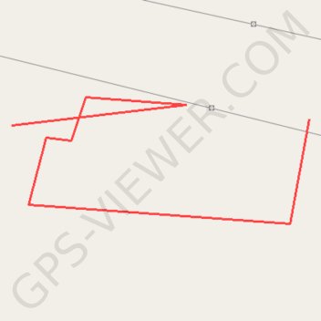
0328001644-68231
- Distance: 0.6 Km
- Elevation gain: 1 m
- Maximum elevation: 73 m
- Elevation loss: 1 m
- Minimum elevation: 71 m
Interactive trail map
Trail profile
- Distance: 0.6 Km
- Elevation gain: 1 m
- Maximum elevation: 73 m
- Elevation loss: 1 m
- Minimum elevation: 71 m
About this trail
Name: 0328001644-68231 trail, distance, elevation, map, profile, GPS track
Start: SH72, Kankrej Taluka, Banaskantha, Gujarat, India (24.11438 71.85960)
End: SH72, Kankrej Taluka, Banaskantha, Gujarat, India (24.11434 71.85751)
Coordinates: 24.11371 71.85751 24.11452 71.85960