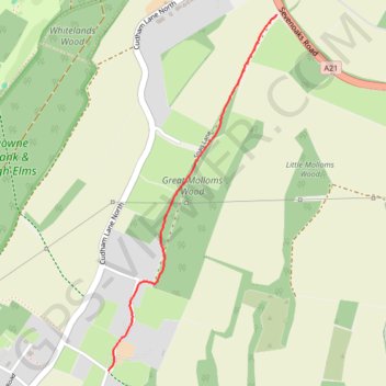
Snag Lane, Green St Green, as walked
- Distance: 1.6 Km
- Elevation gain: 66 m
- Maximum elevation: 148 m
- Elevation loss: 2 m
- Minimum elevation: 82 m
- Moving time: 23 m 1 s
- Moving speed: 4.2 Km/h
- Maximum speed: 10.5 Km/h
- Total time: 23 m 1 s
- Global speed: 4.2 Km/h
Interactive trail map
Trail profile
- Distance: 1.6 Km
- Elevation gain: 66 m
- Maximum elevation: 148 m
- Elevation loss: 2 m
- Minimum elevation: 82 m
- Moving time: 23 m 1 s
- Moving speed: 4.2 Km/h
- Maximum speed: 10.5 Km/h
- Total time: 23 m 1 s
- Global speed: 4.2 Km/h
About this trail
Name: Snag Lane, Green St Green, as walked trail, distance, elevation, map, profile, GPS track
Coordinates: 51.33556 0.08063 51.34785 0.08987