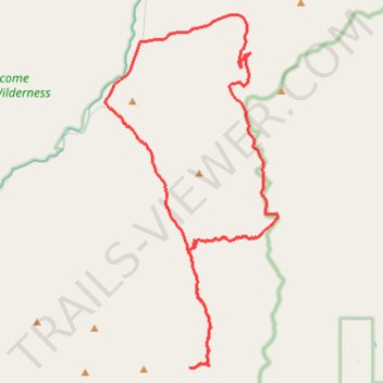
Ranch Creek Trail - Hogback Ridge - Brewster Creek Road
- Distance: 58.3 Km
- Elevation gain: 2,311 m
- Maximum elevation: 2,235 m
- Elevation loss: 2,314 m
- Minimum elevation: 1,172 m
Interactive trail map
Trail profile
- Distance: 58.3 Km
- Elevation gain: 2,311 m
- Maximum elevation: 2,235 m
- Elevation loss: 2,314 m
- Minimum elevation: 1,172 m
About this trail
Name: Ranch Creek Trail - Hogback Ridge - Brewster Creek Road trail, distance, elevation, map, profile, GPS track
Start: 1101, Rock Creek Road, Quigley, Granite County, Montana, 59825, United States (46.58140 -113.67135)
End: 1101, Rock Creek Road, Quigley, Granite County, Montana, 59825, United States (46.58143 -113.67156)
Coordinates: 46.46023 -113.67293 46.62324 -113.55722