Hunt-Parker Memorial Sanctuary
Description:
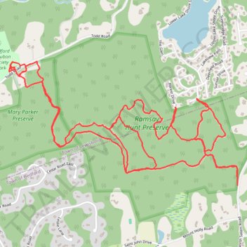
- Distance: 9.9 Km
- Elevation gain: 269 m
- Maximum elevation: 187 m
- Elevation loss: 269 m
- Minimum elevation: 84 m
- Moving time: 1 h 59 m
- Moving speed: 5.0 Km/h
- Maximum speed: 9.1 Km/h
- Total time: 2 h 14 m
- Global speed: 4.4 Km/h
Interactive trail map
Trail profile
- Distance: 9.9 Km
- Elevation gain: 269 m
- Maximum elevation: 187 m
- Elevation loss: 269 m
- Minimum elevation: 84 m
- Moving time: 1 h 59 m
- Moving speed: 5.0 Km/h
- Maximum speed: 9.1 Km/h
- Total time: 2 h 14 m
- Global speed: 4.4 Km/h
About this trail
Name: Hunt-Parker Memorial Sanctuary trail, distance, elevation, map, profile, GPS track
Coordinates: 41.27486 -73.67134 41.28337 -73.65054
Other hiking, mountain biking, running and outdoor activity trails
Click on a trail to view its statistics, map and profile.