Mount Maguire
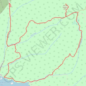
Interactive trail map
Trail profile
- Distance: 9.1 Km
- Elevation gain: 375 m
- Maximum elevation: 253 m
- Elevation loss: 377 m
- Minimum elevation: 5 m
About this trail
Name: Mount Maguire trail, distance, elevation, map, profile, GPS track
Coordinates: 48.33833 -123.70355 48.35398 -123.68053
Topography: Juan de Fuca Electoral Area topographic map, elevation, terrain
Other hiking, mountain biking, running and outdoor activity trails
Click on a trail to view its statistics, map and profile.