Import a GPX file

Dove Valley

#Hiking #Loop

  • Distance: 10.8 Km
  • Elevation gain: 202 m
  • Maximum elevation: 318 m
  • Elevation loss: 202 m
  • Minimum elevation: 201 m

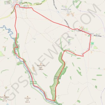
Interactive trail map

Trail profile

  • Distance: 10.8 Km
  • Elevation gain: 202 m
  • Maximum elevation: 318 m
  • Elevation loss: 202 m
  • Minimum elevation: 201 m

About this trail

Gear up for your next adventure:

🚲Handlebar Phone Mount - View topographic-map.com live while cycling
🎒Hiking Daypack - Lightweight and durable backpacks for day trips and excursions
Camping Groundsheet - Protect your tent from moisture and dirt
🧢Hiking Hat - Sun-protective and breathable hats for long treks
🧤Insulated Winter Gloves - Heavy-duty protection for sub-zero Canadian adventures

As an Amazon Associate, this site earns from qualifying purchases at no extra cost to you.