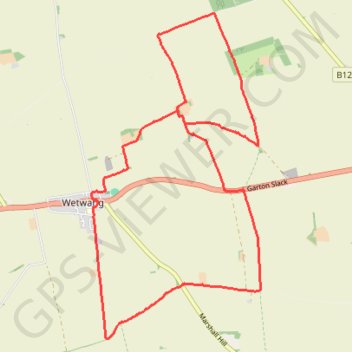
Wetwang Loop
East Riding of Yorkshire Hiking
- Distance: 14.1 Km
- Elevation gain: 206 m
- Maximum elevation: 130 m
- Elevation loss: 206 m
- Minimum elevation: 38 m
- Moving time: 3 h 27 m
- Moving speed: 4.1 Km/h
- Maximum speed: 6.9 Km/h
- Total time: 4 h 10 m
- Global speed: 3.4 Km/h
Interactive trail map
Trail profile
- Distance: 14.1 Km
- Elevation gain: 206 m
- Maximum elevation: 130 m
- Elevation loss: 206 m
- Minimum elevation: 38 m
- Moving time: 3 h 27 m
- Moving speed: 4.1 Km/h
- Maximum speed: 6.9 Km/h
- Total time: 4 h 10 m
- Global speed: 3.4 Km/h
About this trail
Name: Wetwang Loop trail, distance, elevation, map, profile, GPS track
Coordinates: 54.00346 -0.57640 54.04134 -0.54288