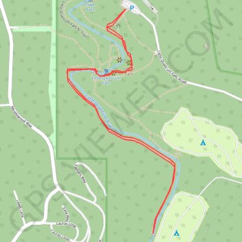
Little Qualicum Falls
Interactive trail map
Trail profile
- Distance: 2.9 Km
- Elevation gain: 43 m
- Maximum elevation: 159 m
- Elevation loss: 43 m
- Minimum elevation: 132 m
About this trail
Name: Little Qualicum Falls trail, distance, elevation, map, profile, GPS track
Coordinates: 49.30801 -124.55758 49.31580 -124.55184
Topography: Area F (Alberni Highway) topographic map, elevation, terrain
Other hiking, mountain biking, running and outdoor activity trails
Click on a trail to view its statistics, map and profile.
Sproat Lake - Nanaimo
Canada > British Columbia > Alberni-Clayoquot Regional District > Area D (Sproat Lake)
Distance: 87.0 Km • Elevation gain: 1,273 m • Maximum elevation: 422 m
Parks paths
Canada > British Columbia > Regional District of Nanaimo > Parksville
Distance: 48.7 Km • Elevation gain: 918 m • Maximum elevation: 424 m