Make a donation
Gear up for your next adventure:
As an Amazon Associate, this site earns from qualifying purchases at no extra cost to you.
Marchant
Interactive trail map
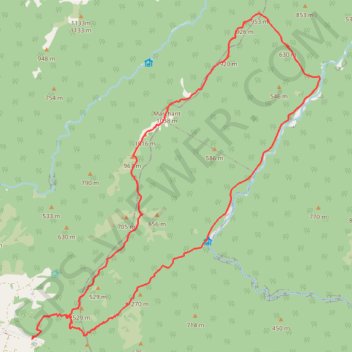
Make a donation
Gear up for your next adventure:
As an Amazon Associate, this site earns from qualifying purchases at no extra cost to you.
Trail profile
- Distance: 25.9 Km
- Elevation gain: 1,533 m
- Maximum elevation: 1,023 m
- Elevation loss: 1,535 m
- Minimum elevation: 186 m
Make a donation
Gear up for your next adventure:
As an Amazon Associate, this site earns from qualifying purchases at no extra cost to you.
About this trail
Name: Marchant trail, distance, elevation, map, profile, GPS track
Start: Kiwi Ranch Road, Upper Hutt City, Wellington, 5372, New Zealand (-41.07511 175.22834)
End: Kiwi Ranch Road, Upper Hutt City, Wellington, 5372, New Zealand (-41.07527 175.22811)
Coordinates: -41.07527 175.22811 -41.00541 175.31000
Make a donation
Gear up for your next adventure:
As an Amazon Associate, this site earns from qualifying purchases at no extra cost to you.