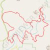
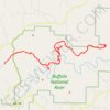
Big Bluff Overlook via Centerpoint Trail and Goat Trail in Buffalo National River
The hike to Big Bluff Overlook offers a stunning blend of natural beauty and challenging terrain. As you make your way along the Centerpoint Trail and the narrow Goat Trail, you’re treated to breathtaking panoramic views of the Buffalo River winding through the Ozark Mountains, with ample opportunities to spot kayakers below during warmer months. This trek is best suited for experienced hikers, as the return journey involves a steep uphill climb, but the rewarding vistas and serene wilderness make it a memorable adventure. #Hiking #Mountain #Forest #Nature #River #Overlook
- Distance: 9.7 Km
- Elevation gain: 362 m
- Maximum elevation: 666 m
- Elevation loss: 371 m
- Minimum elevation: 387 m
- Moving time: 2 h 49 m
- Moving speed: 3.5 Km/h
- Maximum speed: 7.2 Km/h
- Total time: 3 h 34 s
- Global speed: 3.2 Km/h
Interactive trail map
Trail profile
- Distance: 9.7 Km
- Elevation gain: 362 m
- Maximum elevation: 666 m
- Elevation loss: 371 m
- Minimum elevation: 387 m
- Moving time: 2 h 49 m
- Moving speed: 3.5 Km/h
- Maximum speed: 7.2 Km/h
- Total time: 3 h 34 s
- Global speed: 3.2 Km/h
About this trail
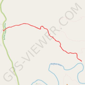
Name: Big Bluff Overlook via Centerpoint Trail and Goat Trail in Buffalo National River trail, distance, elevation, map, profile, GPS track
Start: AR 43, Ponca, Newton County, Arkansas, 72624, United States (36.06403 -93.36092)
End: Centerpoint Trail, Newton County, Arkansas, 72624, United States (36.06450 -93.35964)
Coordinates: 36.05122 -93.36092 36.06678 -93.32101
Other hiking, mountain biking, running and outdoor activity trails
Click on a trail to view its statistics, map and profile.