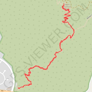
Import a GPX file

Cowles Mountain

Mission Trails Regional Park. #Hiking #Mountain #Forest #Nature

  • Distance: 4.2 Km
  • Elevation gain: 274 m
  • Maximum elevation: 472 m
  • Elevation loss: 273 m
  • Minimum elevation: 202 m

Interactive trail map

Trail profile

  • Distance: 4.2 Km
  • Elevation gain: 274 m
  • Maximum elevation: 472 m
  • Elevation loss: 273 m
  • Minimum elevation: 202 m

About this trail

Gear up for your next adventure:

🔨Vehicle Emergency Tool - Safety tool for remote road trips to trailheads
🧤Thermal Hiking Gloves - Grip-enhanced gloves for cold-weather altitude trekking
🔭Compact Monocular - One-handed bird watching and trail spotting
🛶Waterproof Dry Bags - Keep electronics and clothes dry during river crossings
Lightweight Backpacking Tent - Compact tent for efficient hiking trips

As an Amazon Associate, this site earns from qualifying purchases at no extra cost to you.