Munro Hillwalk Gulvain
Munro, hillwalk, Gulvain
- Distance: 24.0 Km
- Elevation gain: 1,238 m
- Maximum elevation: 974 m
- Elevation loss: 1,238 m
- Minimum elevation: 10 m
- Moving time: 5 h 36 m
- Moving speed: 4.3 Km/h
- Maximum speed: 19.7 Km/h
- Total time: 5 h 58 m
- Global speed: 4.0 Km/h
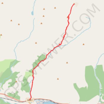
Interactive trail map
Trail profile
- Distance: 24.0 Km
- Elevation gain: 1,238 m
- Maximum elevation: 974 m
- Elevation loss: 1,238 m
- Minimum elevation: 10 m
- Moving time: 5 h 36 m
- Moving speed: 4.3 Km/h
- Maximum speed: 19.7 Km/h
- Total time: 5 h 58 m
- Global speed: 4.0 Km/h
About this trail
Name: Munro Hillwalk Gulvain trail, distance, elevation, map, profile, GPS track
Start: A861, Drumsallie, Highland, Scotland, PH33 7NP, United Kingdom (56.85964 -5.34897)
End: A861, Drumsallie, Highland, Scotland, PH33 7NP, United Kingdom (56.85965 -5.34893)
Coordinates: 56.85964 -5.34897 56.93626 -5.28452
Other hiking, mountain biking, running and outdoor activity trails
Click on a trail to view its statistics, map and profile.
Hike from Glenfinnan to A Chùil
United Kingdom > Scotland > Highland > Glenfinnan
Distance: 20.4 Km • Elevation gain: 747 m • Maximum elevation: 498 m