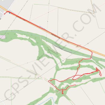
RE SK510750
- Distance: 3.2 Km
- Elevation gain: 20 m
- Maximum elevation: 126 m
- Elevation loss: 32 m
- Minimum elevation: 101 m
- Moving time: 56 m 44 s
- Moving speed: 3.3 Km/h
- Maximum speed: 74.7 Km/h
- Total time: 1 h 8 m
- Global speed: 2.8 Km/h
Interactive trail map
Trail profile
- Distance: 3.2 Km
- Elevation gain: 20 m
- Maximum elevation: 126 m
- Elevation loss: 32 m
- Minimum elevation: 101 m
- Moving time: 56 m 44 s
- Moving speed: 3.3 Km/h
- Maximum speed: 74.7 Km/h
- Total time: 1 h 8 m
- Global speed: 2.8 Km/h
About this trail
Name: RE SK510750 trail, distance, elevation, map, profile, GPS track
Coordinates: 53.26947 -1.24502 53.27634 -1.23151