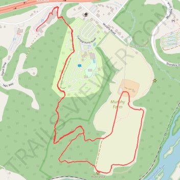
Murphy-Chambers Farm
- Distance: 4.9 Km
- Elevation gain: 106 m
- Maximum elevation: 164 m
- Elevation loss: 106 m
- Minimum elevation: 119 m
- Moving time: 1 h 29 m
- Moving speed: 3.3 Km/h
- Maximum speed: 6.0 Km/h
- Total time: 1 h 48 m
- Global speed: 2.7 Km/h
Interactive trail map
Trail profile
- Distance: 4.9 Km
- Elevation gain: 106 m
- Maximum elevation: 164 m
- Elevation loss: 106 m
- Minimum elevation: 119 m
- Moving time: 1 h 29 m
- Moving speed: 3.3 Km/h
- Maximum speed: 6.0 Km/h
- Total time: 1 h 48 m
- Global speed: 2.7 Km/h
About this trail
Name: Murphy-Chambers Farm trail, distance, elevation, map, profile, GPS track
Start: Path to River Riders, Jefferson County, West Virginia, 25423, United States (39.31589 -77.76749)
End: Path to River Riders, Jefferson County, West Virginia, 25423, United States (39.31726 -77.76622)
Coordinates: 39.30751 -77.76753 39.31735 -77.75936