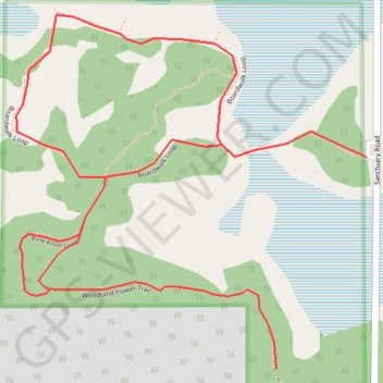
Clifford E Lee Nature Sanctuary Loop
- Distance: 3.6 Km
- Elevation gain: 21 m
- Maximum elevation: 706 m
- Elevation loss: 21 m
- Minimum elevation: 699 m
Interactive trail map
Trail profile
- Distance: 3.6 Km
- Elevation gain: 21 m
- Maximum elevation: 706 m
- Elevation loss: 21 m
- Minimum elevation: 699 m
About this trail
Name: Clifford E Lee Nature Sanctuary Loop trail, distance, elevation, map, profile, GPS track
Start: Boardwalk Loop, Parkland County, Alberta, T7Y 1C5, Canada (53.41308 -113.78774)
End: Boardwalk Loop, Parkland County, Alberta, T7Y 1C5, Canada (53.41308 -113.78774)
Coordinates: 53.40945 -113.79783 53.41553 -113.78774
Topography: Parkland County topographic map, elevation, terrain