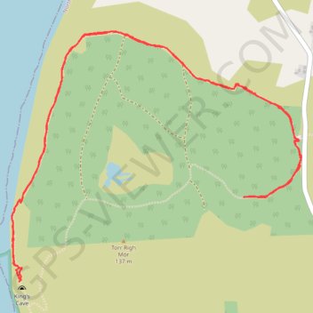
King's Cave (Walk)
Arran, Scotland
- Distance: 6.2 Km
- Elevation gain: 182 m
- Maximum elevation: 77 m
- Elevation loss: 183 m
- Minimum elevation: 0 m
- Moving time: 1 h 49 m
- Moving speed: 3.4 Km/h
- Maximum speed: 8.9 Km/h
- Total time: 2 h 24 m
- Global speed: 2.6 Km/h
Interactive trail map
Trail profile
- Distance: 6.2 Km
- Elevation gain: 182 m
- Maximum elevation: 77 m
- Elevation loss: 183 m
- Minimum elevation: 0 m
- Moving time: 1 h 49 m
- Moving speed: 3.4 Km/h
- Maximum speed: 8.9 Km/h
- Total time: 2 h 24 m
- Global speed: 2.6 Km/h
About this trail
Name: King's Cave (Walk) trail, distance, elevation, map, profile, GPS track
Coordinates: 55.52555 -5.35399 55.53617 -5.33235
Other hiking, mountain biking, running and outdoor activity trails
Click on a trail to view its statistics, map and profile.
Bridgend Campsite to Lochranza and back
United Kingdom > Scotland > North Ayrshire > Shiskine > Pien
Arran, Scotland
Distance: 59.2 Km • Elevation gain: 560 m • Maximum elevation: 59 m