
Bird Billabong
- Distance: 5.7 Km
- Elevation gain: 35 m
- Maximum elevation: 26 m
- Elevation loss: 36 m
- Minimum elevation: 11 m
- Moving time: 1 h 57 m
- Moving speed: 2.9 Km/h
- Maximum speed: 5.2 Km/h
- Total time: 2 h 57 m
- Global speed: 1.9 Km/h
Interactive trail map
Trail profile
- Distance: 5.7 Km
- Elevation gain: 35 m
- Maximum elevation: 26 m
- Elevation loss: 36 m
- Minimum elevation: 11 m
- Moving time: 1 h 57 m
- Moving speed: 2.9 Km/h
- Maximum speed: 5.2 Km/h
- Total time: 2 h 57 m
- Global speed: 1.9 Km/h
About this trail
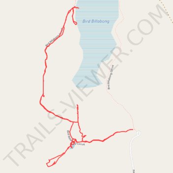
Name: Bird Billabong trail, distance, elevation, map, profile, GPS track
Start: Bird Billabong Circuit, Marrakai, Northern Territory, 0822, Australia (-12.87591 131.63350)
End: Bird Billabong Circuit, Marrakai, Northern Territory, 0822, Australia (-12.87610 131.63240)
Coordinates: -12.87865 131.62646 -12.86684 131.63350