River Aire
- Distance: 7.6 Km
- Elevation gain: 104 m
- Maximum elevation: 110 m
- Elevation loss: 106 m
- Minimum elevation: 59 m
- Moving time: 1 h 58 m
- Moving speed: 3.8 Km/h
- Maximum speed: 5.9 Km/h
- Total time: 2 h 7 m
- Global speed: 3.6 Km/h
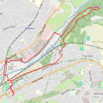
Interactive trail map
Trail profile
- Distance: 7.6 Km
- Elevation gain: 104 m
- Maximum elevation: 110 m
- Elevation loss: 106 m
- Minimum elevation: 59 m
- Moving time: 1 h 58 m
- Moving speed: 3.8 Km/h
- Maximum speed: 5.9 Km/h
- Total time: 2 h 7 m
- Global speed: 3.6 Km/h
About this trail
Name: River Aire trail, distance, elevation, map, profile, GPS track
Coordinates: 53.83548 -1.76283 53.85394 -1.72909