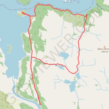
Castle Tioram
- Distance: 8.5 Km
- Elevation gain: 310 m
- Maximum elevation: 154 m
- Elevation loss: 310 m
- Minimum elevation: 0 m
- Moving time: 2 h 47 m
- Moving speed: 3.0 Km/h
- Maximum speed: 10.3 Km/h
- Total time: 3 h 7 m
- Global speed: 2.7 Km/h
Interactive trail map
Trail profile
- Distance: 8.5 Km
- Elevation gain: 310 m
- Maximum elevation: 154 m
- Elevation loss: 310 m
- Minimum elevation: 0 m
- Moving time: 2 h 47 m
- Moving speed: 3.0 Km/h
- Maximum speed: 10.3 Km/h
- Total time: 3 h 7 m
- Global speed: 2.7 Km/h
About this trail
Name: Castle Tioram trail, distance, elevation, map, profile, GPS track
Coordinates: 56.76522 -5.82808 56.78631 -5.80320